Reading a City Plan Before a Neighbourhood Meeting
Reading a city plan before a neighbourhood meeting helps you spot its scope, map key and stated choices, so your questions address the decisions on the table.
Reading a city plan before a neighbourhood meeting is easier if you first identify what the document can decide. A coloured map may show a proposal, an existing rule or an area for later study; those are different things, even when they occupy the same page. Start with the document’s scope, then decode its map and stated choices before drafting questions.
Start with the scope
A city plan is not necessarily a single, final instruction. It might be a draft policy, a project concept, an amendment to an existing plan, a consultation document or a staff report recommending a decision. The cover, opening note and agenda item usually say which. Look for the document’s title, authoring department, publication status and any reference to a council vote or later approval.
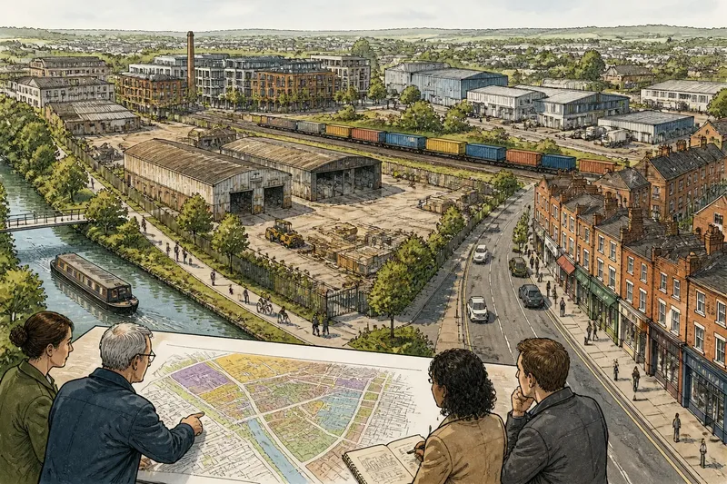
Next, find the boundary of the decision. Is the meeting about a particular street, a group of blocks, a whole neighbourhood or a city-wide policy? Check the map extent and the wording in the introduction. A plan can mention a neighbourhood while making recommendations only for one corridor. Conversely, a small project map can sit within a broader policy that applies well beyond its edges.
Identify the decision-maker and the stage of the process. A committee may be asked to endorse a direction, approve a design, receive comments or send a recommendation to council. “For discussion” does not mean “approved”; “recommended” does not mean “adopted”. If the next decision is unclear, mark that as a process question rather than trying to infer it from the map.
Then note what the plan says it does not cover. A transport concept may not set parking rules; a land-use amendment may not settle the design of a future building. These limits are useful. They keep a meeting question tied to the authority in front of the room instead of asking one document to resolve every concern about a place.
Choose your reading route
Read differently depending on what brings you to the meeting. The aim is not to master every page. It is to find the relevant part, understand its status and prepare a question that the people present can answer.
- If you live beside the mapped area: Begin with the boundary and the sheets showing your block. Check whether the proposal applies to your property, the public street or both. This route fits because nearby effects can be obscured by a map showing a much larger area.
- If you use the street but live elsewhere: Look for sections on access, crossings, transit, loading, cycling or walking, then match them to the relevant map symbols. This route fits because a plan’s effects may follow a route or service area rather than a residential boundary.
- If you are attending for a community group: Read the scope, the stated objectives and the options considered. Note whose needs the document names and which groups or uses receive little attention. This route fits because a group may need to discuss the proposal’s overall priorities, not only one location.
- If you are unsure what is being decided: Start with the meeting agenda and the report’s recommendation, then look for the next approval stage. This route fits because a useful comment depends on whether officials are choosing among options, refining a preferred option or recording feedback.
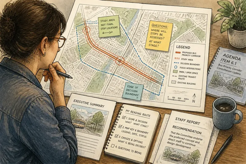
- If you have only a short time: Read the executive summary, map legend, recommendation and any section headed “next steps” or “engagement”. Then inspect the map page most relevant to your concern. This route fits because those parts often reveal the decision and its limits without requiring a cover-to-cover read.
Imagine a resident whose front door is near a proposed bus-priority corridor. The plan includes the whole route, but its map marks changes only at selected intersections. The resident checks the legend and sees that the line indicates a study area, not a final stop location. A focused meeting question can then ask where stop locations will be assessed and at what stage, rather than treating every mark along the corridor as a settled design.
Decode the map key
Find the legend before interpreting colours, lines or shading. A thick line might mean a proposed route, an existing service, a boundary or a corridor under study. A shaded area could represent a policy designation, an analysis area or simply the map’s background. The legend, map title and notes together establish what each mark means.
Check the map date and status. A base map can show buildings, street names or transit routes that were accurate when the document was prepared, not necessarily on meeting day. Look for labels such as “existing”, “proposed”, “illustrative” and “subject to further study”. If several map layers are combined, ask which one carries the actual recommendation.
Also inspect scale and extent. A city-wide map is useful for orientation but may not show the details needed to understand a crossing or block. A close-up may show local features while hiding how a route connects to the wider network. Treat the map like a folded street atlas: useful for finding your place, but not a substitute for checking what the symbols and boundaries actually denote.
Locate your concern in relation to the plan’s boundary, not just near a coloured area. If a property, stop or public space lies close to an edge, the distinction may matter. Make a note of the map page, street name and symbol involved. That gives staff and other participants something precise to refer to, even if the answer is that the map is preliminary.
Read the choices
Find the sentences that state what officials are asking people to consider. They may appear under “options”, “preferred concept”, “recommendation” or “trade-offs”. Separate the proposal from its rationale: “create a wider footway” is an action; “improve comfort” is a reason offered for it. Both matter, but they invite different questions.
Look for alternatives and for what each alternative changes. One option might keep existing access while another reallocates kerb space; a third may defer a decision. Check whether the document explains why an option was discounted, and whether a “do nothing” or maintenance option appears. If choices are not set out, the meeting may be about refining a direction rather than selecting between fully developed designs.
Pay attention to conditions and unresolved items. Phrases such as “subject to design”, “pending assessment” or “to be confirmed” identify decisions not yet made. Record them separately from settled recommendations. A plan’s uncertainty is not automatically a defect; it can mark the point at which more detailed work or public input is expected.
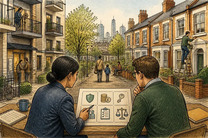
One plain way to organise your notes is to make three columns: what the document proposes, what it says remains open, and what you want clarified. Keep each entry linked to a page, map or paragraph. This is not a substitute for the plan’s own process; it is a simple way to avoid treating a question, an aspiration and a decision as interchangeable.
Questions worth bringing?
Is this plan already approved?
Check the cover status, report recommendation and meeting agenda for terms such as draft, adopted or for endorsement. If those do not settle it, ask which body makes the decision and what action the meeting is being asked to take.
What does this map colour mean?
Read the legend and any notes printed beside the map before interpreting the colour. If its meaning remains ambiguous, point to the map page and ask whether it marks an existing condition, a proposal or an area for further study.
Can the plan change my street?
Check whether the street lies inside the mapped boundary and whether the proposal applies to the street itself or to nearby land. Ask what parts of the proposal are fixed and what details will be considered at a later design stage.
Which options are still open?
Look for alternatives, trade-offs and conditions in the report, then distinguish them from the preferred recommendation. At the meeting, ask what decision remains open, who will make it and how comments will inform that decision.
Make the question answerable
A strong meeting question names the location or passage, identifies the choice at issue and asks for a specific clarification. “What happens here?” is understandable but broad. “On the map for the eastern junction, does the shaded area show the preferred design or a study boundary?” gives the presenter a precise point to address.
Keep one question to one issue. If you want to raise access, construction timing and consultation, separate them. This helps the chair manage discussion and makes it easier to tell whether a response answers the question or simply explains the project in general terms.
Bring the page reference and, if useful, a copy of the map with the location marked. Avoid assuming that a line on a concept plan fixes the position of a kerb, tree or stop. If the document leaves that detail open, ask when it will be settled and what opportunity there will be to comment then.
Reading a city plan before a neighbourhood meeting does not require agreement with its assumptions. It requires knowing which document is in front of you, what its symbols mean and which choices officials have actually stated. That distinction lets you challenge the proposal on its merits, while keeping questions about later design or approval from being lost in the wrong meeting.